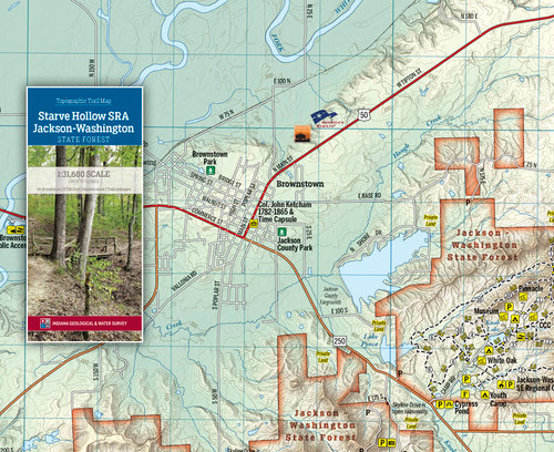
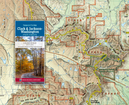
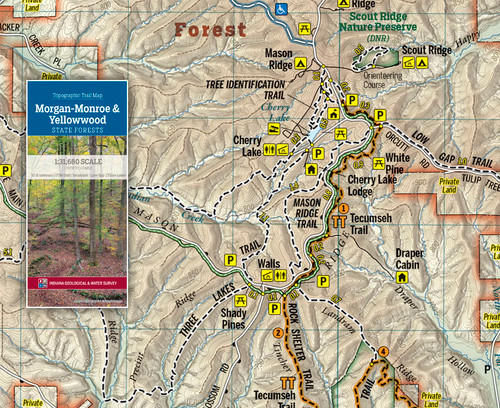
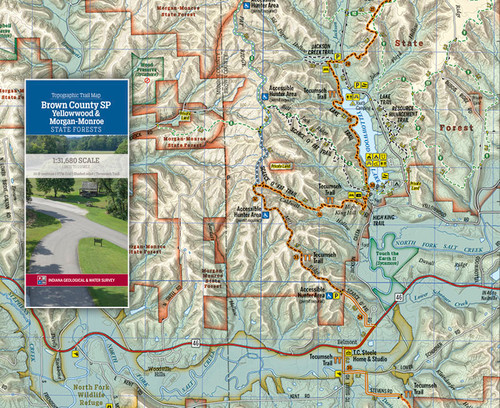
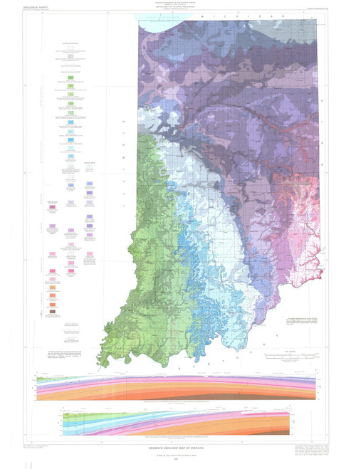
The Scottsburg Lowlands and Norman Uplands provide many opportunities to experience the remarkable topography of the Hoosier State and the diverse terrain in south-central Indiana. This region includes Starve Hollow State Recreation Area, Jackson-Washington State Forest, and other small parks and protected lands.
This folding two-sided trail map is printed on waterproof, tear-resistant paper.
Geologic history has been written on the area’s landscapes. The flood plains of the East Fork White River and Muscatatuck River are covered with meander scars and abandoned channels from both past and modern-day floods. These plains were covered by glacial outwash during the last Ice Age, resulting in the fertile soil there today. And southeast of the Medora Covered Bridge, you can see small rises—relict dunes that formed 20,000 years ago when a large ice sheet stalled 30 miles to the north. While the region often floods, the forested hills above the plains offer a variety of trails for many forms of outdoor recreation. From hiking and biking in Jackson-Washington State Forest to quiet walks through the hemlocks on the bluffs of Guthrie Creek, visitors will find ample opportunities to explore this diverse terrain.
This map is available digitally through the Avenza Map app at https://www.avenzamaps.com/maps/1109014

